
Sedalia Postal Coverage and Routes
ZIP codes describe postal delivery geography, not municipal borders. The official municipal roster identifies 65301 as Sedalia’s primary city delivery ZIP. USPS groups other nearby ZIPs through a broader Sedalia post-office routing group, but that group includes rural routes and nearby communities. Treat the table as a routing guide. The final answer for one property comes from USPS address verification, not from a broad Sedalia label or a county result.
| ZIP | Areas | Post Office | Notes |
|---|---|---|---|
| 65301 | Standard Sedalia city delivery | Sedalia routing | Primary city ZIP; verify the exact street and ZIP+4 with USPS. |
| 65302 | Sedalia post-office-box addressing | Sedalia post-office group | Not a separate Sedalia neighborhood. |
| 65329 | Sedalia-area and rural route group | Sedalia routing group | May point outside the city boundary; verify each address. |
| 65334 | Hughesville-area route | USPS bulletin and routing references | Not Sedalia city proper by default; address-level verification is required. |
| 65348 | Sedalia-area route group | Sedalia routing group | Postal coverage can extend beyond the incorporated city. |
| 65350-65351 | Smithton and Sweet Springs area routes | USPS DMM and bulletin context | Nearby communities, not automatic Sedalia city addresses. |
| 65305, 65323-27, 65332-38, 65345, 65355, 65360 | Nearby Pettis and regional communities in the label group | Current USPS DMM L012 routing group | Use only after checking the individual address; these are not city ZIPs by default. |
The present label list is the better current routing source than older bulletins. It does not create a Sedalia city address for every ZIP in the group. Note: Record whether a ZIP comes from USPS delivery, a tax mailing field, or a city-boundary map before comparing results.
Sedalia Delivery Route 65301
For a standard city address, begin with 65301 and verify the full mailing format through the USPS ZIP Code Lookup. USPS provides two relevant directions: address to ZIP or ZIP+4, and city and state to ZIP. The first is stronger when a house number and street are known. The second is a way to identify postal options, not proof that every address in a returned city label is inside Sedalia.
The official USPS lookup is the final authority for address-to-ZIP and ZIP+4 confirmation.
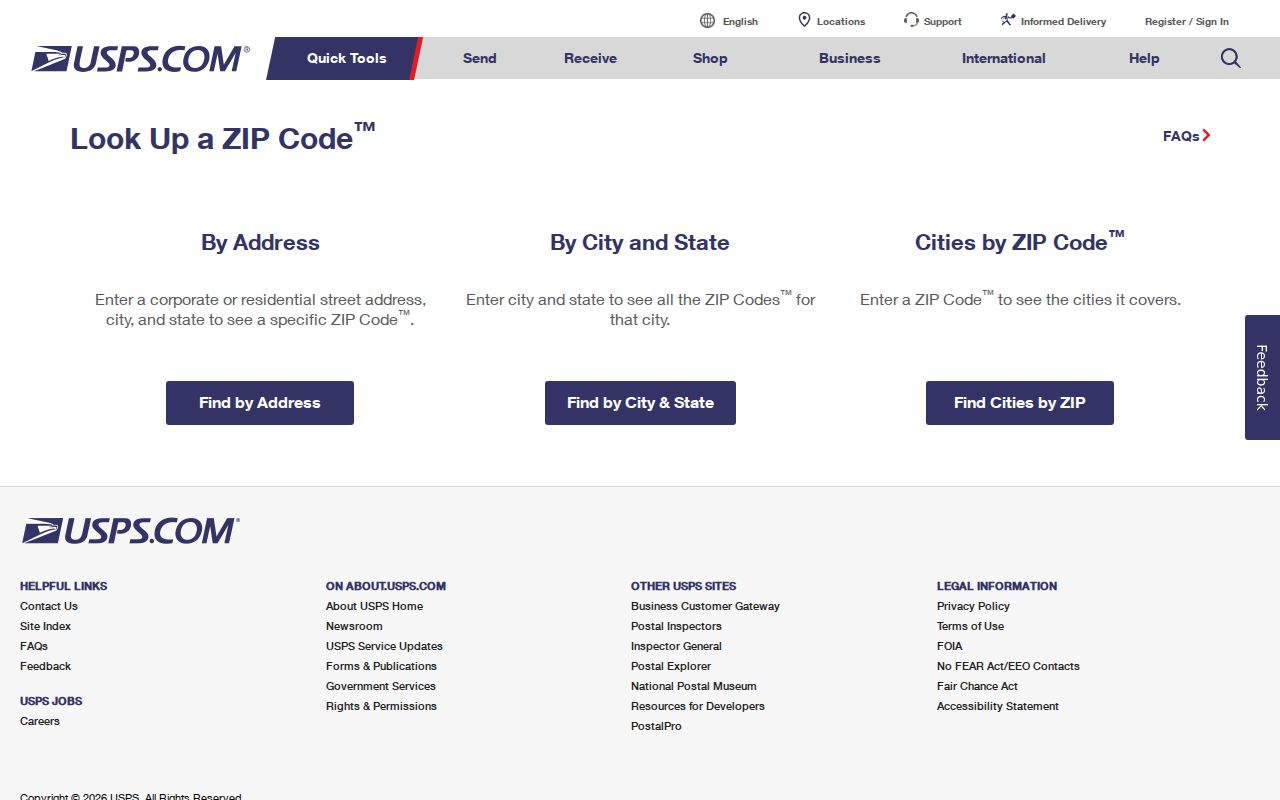
Save the address as USPS returns it, then compare that delivery result with the physical parcel and any separate mailing address in county records.
Sedalia USPS Checks Before Parcel Search
For a Sedalia address, USPS should settle the postal form before a property search is treated as a location match. Enter the street address when it is known. If only a city and state are available, use the broader USPS mode as a starting point and do not assign the result to a particular Sedalia parcel yet. A returned ZIP+4 narrows delivery, while it does not replace the county parcel account, legal description, or incorporated-city boundary.
Keep the Sedalia USPS result with the source date and the original address supplied. That small record makes later comparisons clearer when a Sedalia directory, a Devnet mailing line, and a city map use different labels for the same general area.
Sedalia Delivery Route 65302
ZIP 65302 is associated with Sedalia post-office-box addressing, so it should not be treated as a neighborhood label. The same caution applies to 65329, 65334, 65348, 65350-65351, and the wider routing group. A Sedalia routing reference can accompany an address in a nearby community, a rural route, or a box. Hughesville-area 65334 needs its own address check, rather than an assumption based on the city name.
This is the local ZIP quirk that matters most: a post-office routing group is broader than incorporated Sedalia. Nearby Pettis County communities include Green Ridge, Houstonia, Hughesville, Ionia, La Monte, Mora, Smithton, Sweet Springs, and Windsor. A delivery label may connect to the same regional network without placing a property in the city.
Finding Records Within a Sedalia ZIP
A ZIP can narrow a records question, but each portal gives that code a different meaning. USPS verifies the delivery assignment. Devnet accepts a mailing ZIP as one property-search field. The Missouri voter lookup is a name-and-county form, not a public ZIP browsing tool. A ZIP search therefore produces address or property context, not a complete list of people who live in that area. Keep the source and search date with each result.
- Enter the full physical address in USPS and retain the returned ZIP or ZIP+4.
- When researching a parcel, search Devnet by address or owner first, then use its mailing ZIP field only as a mailing filter.
- Compare the property’s situs address, mailing address, and legal description before deciding what geographic question the result answers.
- Use the voter portal only for its documented name-and-county workflow, not as a ZIP-wide resident browser.
- After a ZIP narrows the location, use the Sedalia street directory for the separate address-keyed record trail.
For official statutory registry location searches, the Missouri State Highway Patrol’s form accepts ZIP among several search fields and requires at least one criterion. It is updated daily and is limited to the registry’s official search purpose, not a general Sedalia ZIP code directory or a household list.
The Missouri State Highway Patrol registry search shown here is the official location-search form.
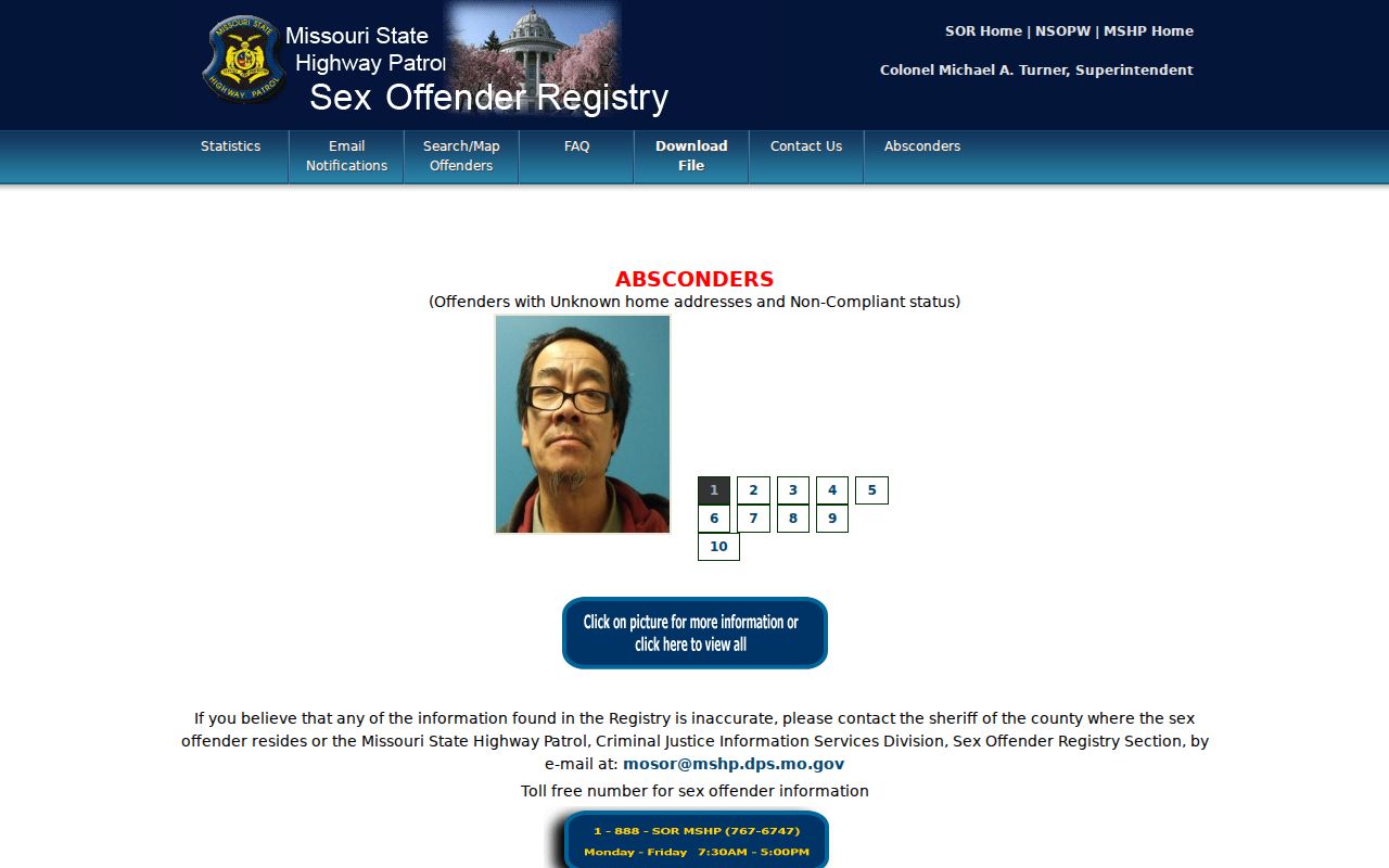
Use only the returned official record and its stated search conditions, rather than treating a ZIP as a measure of a neighborhood or its residents.
Sedalia Mailing ZIP Fields in Devnet
Pettis Devnet is a parcel and tax search, not a citywide occupant filter. Its real-estate form separates physical-address fields from mailing-address fields. That design is useful because a property can be in Sedalia while tax mail goes elsewhere. The research captured a mailing ZIP field, but no live result card, export behavior, or all-residents mode. Use its owner, house number, street, city, and parcel context with the narrow question in mind.
| Devnet field | Filter type | What it can narrow | Limit |
|---|---|---|---|
| House Number and Street Name | Physical address fields | A property location | Confirm the result’s situs address and parcel details. |
| City | Physical address field | Municipal-style address text in the property data | Does not replace a city-boundary determination. |
| Mailing Zip Code | Mailing-address field | Accounts whose mailing data matches that ZIP | It is not a filter for every person or every physical address in the ZIP. |
| Owner Name and Account Number | Text fields | Known owner or parcel account research | Owner of record is not a finding of current occupancy. |
| Sale, township, class, and land-use fields | Additional filters | Property context and narrower parcel sets | Use with the address and source date; live result details were not captured. |
The Pettis real-estate and personal-property search uses separate forms, and the real-estate form is pictured below.
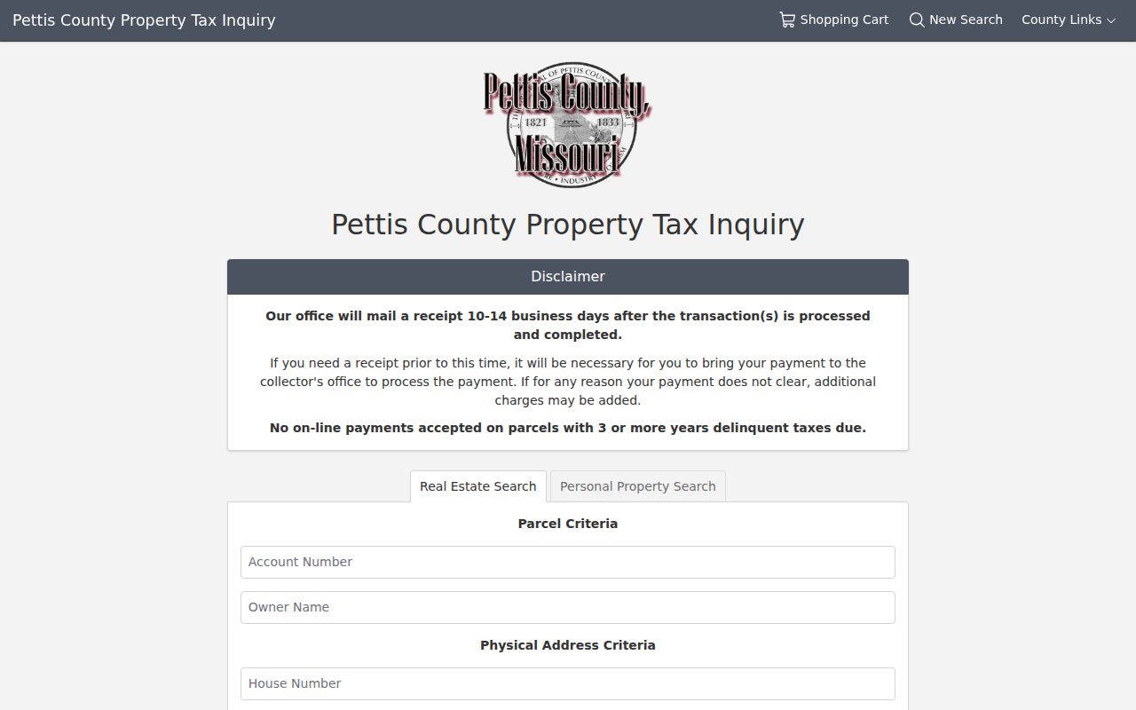
Use the mailing ZIP control only after identifying whether the task concerns where tax mail goes, where the parcel sits, or the legal parcel description.
Sedalia Boundaries and Delivery Codes
A ZIP code boundary and the Sedalia city line answer different questions. USPS controls delivery geography. City and county maps describe civic boundaries and geographic layers. Devnet reflects property data. A voter record can contain a statutory public address field, but the state lookup itself uses personal identifiers and county rather than a ZIP browse. None of those labels should be substituted for the others.
City maps can provide boundary context, including zoning, wards, precincts, districts, and projects. The city launched its centralized interactive maps site on June 2, 2026, with applications for city-owned properties, the North Central Sidewalk Project, and city projects. The Sedalia interactive maps announcement is useful for that context, but its maps do not determine USPS delivery codes.
Sedalia Postal Labels Defined
Four labels often appear on the same Sedalia property record, and each has its own keeper. Keeping them separate prevents a mailing match from becoming an unsupported statement about a residence or city limit.
- ZIP and ZIP+4
- A ZIP identifies a postal delivery area. ZIP+4 adds a more specific delivery segment, and USPS confirms it from the address.
- PO-box ZIP
- A ZIP associated with post-office-box delivery. It does not identify a separate residential district.
- Situs address
- The physical address for a parcel. Devnet keeps it distinct from the owner’s mailing information.
- Mailing address
- The line used for notices or correspondence. It may be in another city, state, or ZIP.
- Legal description
- The lot, block, subdivision, or metes-and-bounds land description used in recorded instruments.
- Carrier route
- A postal delivery grouping. It is delivery geography, not an incorporated-city or household boundary.
Sedalia Address Crosschecks
For an older Sedalia address, start with the period street, lot, block, ward, map, or railroad landmark, then obtain the current postal form from USPS. No official source in this research located a complete Sedalia street-numbering history, a ZIP split history, or an annexation-to-address crosswalk. That absence matters. Do not invent a conversion when a nineteenth-century Sedalia directory or deed fails against a modern address field.
Historical Sedalia city directories, the 1883 Sanborn map, plats, and legal descriptions can help bridge an older Sedalia location into a current address check. Sedalia’s rail setting, Broadway and US 50, US 65, and the Fairgrounds can also be useful orientation clues in dated materials. A practical handoff is period address or landmark, then lot or block if known, then a mapped parcel, and finally the USPS delivery confirmation. Each Sedalia step answers a different question. The map places the location, the deed describes the land, and USPS standardizes mail delivery. Note: A historic Sedalia street reference becomes a current ZIP question only after the address has been independently reconciled.